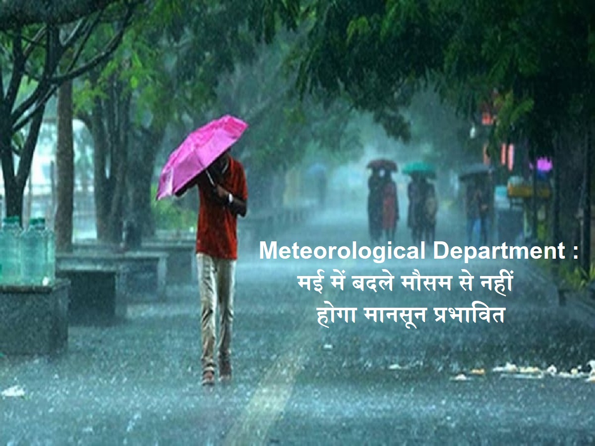
News India Live, Digital Desk: In May, India has seen unusual weather in May due to the maximum temperature, dust storm and thunderstorms than normal. However, the introduction of the southwest monsoon this year is not likely to affect the temperature, according to experts, it is likely to come by the end of this year.
It is worth noting that one of the important factors important for normal monsoon is the creation of ‘heat low’ in the northwest part of the country. As a result, a trough of low pressure is formed, resulting in moist air from the monsoon trough. A report by Hindustan Times states that the monsoon could be reduced due to this.
According to the Director General of Indian Meteorological Department (IMD) M. Mahapatra, due to the continuous entry of western disturbances and moisture, the northern part of the country is receiving intermittent thunderstorms and more rainfall in this month.
In the end of May, heat outbreaks may increase in parts of Uttar Pradesh and Haryana.
The newspaper quoted him quoted by him, “During May, the temperature in most parts of the country except Rajasthan has been less than normal or normal, where there is heat in some areas.” He said that in the end of May, the outbreak of heat may increase in parts of Uttar Pradesh and Haryana. According to the department, monsoon rains from June to September are expected to exceed normal.
On Monday, the southwest monsoon moved forward to Maldives, South Arabian Sea, Komorin region, Bay of South Bengal and some other parts of the Bay of Central Bengal. The IMD forecast states, “Some other parts of the South Arabian Sea, the remaining parts of the Maldives and the Comorin region, some other parts of the Bay of South Bengal, some other parts of the Bay of Central Bengal and some other parts of the North-East Bengal Bay, are favorable for moving ahead of the south-west monsoon during the next 2-3 days.”
Change in the Weather: Pre-monsoon rain alert in many states, know how the condition will be in your city!