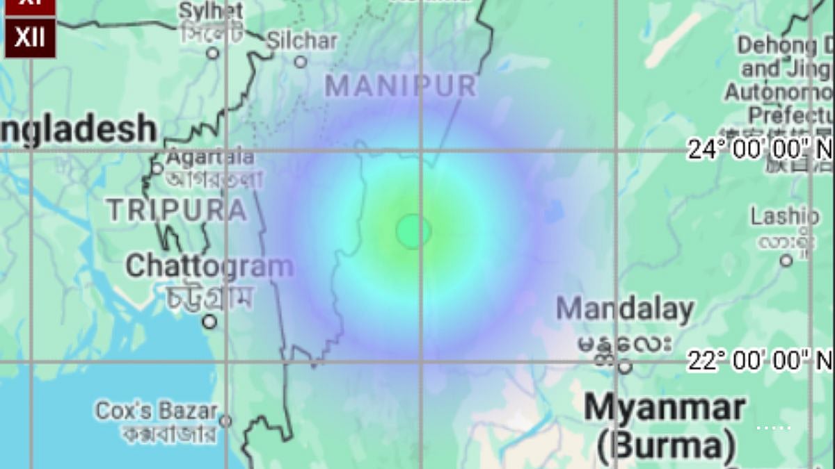
EQ of M: 4.0, On: 24/05/2025 00:28:58 IST, Lat: 23.24 N, Long: 93.92 E, Depth: 10 Km, Location: Myanmar. | X @NCS_Earthquake
Naypyitaw: An earthquake of magnitude 4.0 struck Myanmar on Saturday, as reported by the National Center of Seismology (NCS).
As per the NCS, the earthquake occurred at 00:28 hours at latitude 23.24 N, and longitude 93.92 E.
The earthquake occurred at a depth of 10 kilometres.
“EQ of M: 4.0, On: 24/05/2025 00:28:58 IST, Lat: 23.24 N, Long: 93.92 E, Depth: 10 Km, Location: Myanmar.”
Previously on May 19, an earthquake of magnitude 3.9 on the Richter scale hit Myanmar, the National Centre for Seismology (NCS) stated.
As per NCS, the earthquake occurred at a depth of 40 km and a latitude of 21.67 N and a longitude of 93.91 E.
“EQ of M: 3.9, On: 18/05/2025 23:07:58 IST, Lat: 21.67 N, Long: 93.91 E, Depth: 40 Km, Location: Myanmar,” the NCS said in a post on X.
Earlier in March, the country was hit with earthquakes of magnitude 7.7 and 6.4 that had caused widespread damage and the death of more than 3500. According to the World Health Organisation (WHO), Southeast Asia, the region is expected to face a series of rapidly rising health threats, including tuberculosis (TB), HIV, and vector- and water-borne diseases, for tens of thousands of displaced people in earthquake-affected areas.
Operation Brahma has been India’s dedicated humanitarian outreach to Myanmar in the wake of the disaster. As part of this initiative, India has also extended aid to the Indian diaspora in the Yangon region.
Myanmar is vulnerable to hazards from moderate- and large-magnitude earthquakes, including tsunami hazards along its long coastline.
The Sagaing Fault elevates the seismic hazard for Sagaing, Mandalay, Bago, and Yangon, which together represent 46 per cent of the population of Myanmar. Although Yangon is relatively far from the fault trace, it still suffers from significant risk due to its dense population.
Disclaimer: This is a syndicated feed. The article is not edited by the FPJ editorial team.