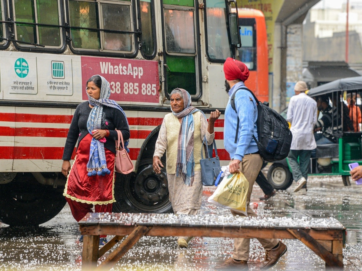
The weather patterns are going to turn once again across the country. A new phase of rain and snowfall is going to start before the cold departure. According to the Indian Meteorological Department (IMD), western disturbances will remain active between 25 to 28 February, causing rain and snowfall in the northern and northeastern states.
Rain and snowfall are expected in North India
According to the IMD report, due to this fresh western disturbance, there will be light to moderate rains and snowfall in Jammu and Kashmir, Ladakh, Himachal Pradesh and Uttarakhand. There is also a possibility of thunder and lightning fall.
- Light to moderate rains may occur in Punjab and Haryana between 26 February to 1 March.
- During 27 February to 1 March, clouds are expected to rain in western Uttar Pradesh and Rajasthan.
- The weather will change from 24 February in the northeastern states. Arunachal Pradesh, Assam, Meghalaya, Nagaland, Manipur, Mizoram and Tripura may have light to moderate rains in some places. The Meteorological Department has already issued an alert for this.
Today’s weather: The sun is shining, Maharashtra is burning! Summer alert continues with humid weather in this ‘part of the state’
Light fog in Delhi, temperature drop
Traffic was affected due to light fog in the national capital Delhi on Monday morning. Due to the rains in the past, there has been a slight increase in the cold as well.
- Today, Delhi’s maximum temperature is expected to be 27 ° C and the minimum temperature is 11 ° C.
- The maximum temperature on Sunday was recorded at 26.7 degrees Celsius, which was 1.2 degrees above the average.
- The minimum temperature was 10.3 degrees Celsius.
- Humidity levels were recorded between 96% to 44%.
- The Air Quality Index (AQI) was recorded at 143, which falls in the middle category.
Jammu and Kashmir: Rain and snowfall for next 4 days
In Jammu and Kashmir, light to moderate rains and snowfall are likely for four days at most places from February 25. However, the weather will remain dry till Monday.
- The minimum temperature in Srinagar was recorded at 0.0 degrees Celsius.
- Gulmarg record -5.6 ° C, Pahalgam -4.3 ° C, and -0.6 ° C in Qazigund.
- A maximum temperature also saw a slight increase, with 15.2 degrees Celsius in Srinagar and Kupwara and 11.0 degrees Celsius in Pahalgam.
What to do and how to be vigilant?
 Due to rain and snowfall, take the weather updates before traveling. Road and air traffic can be affected due to fog, caution. Farmers are advised to protect crops to protect against hailstorm. Avoid unnecessary travel and wear warm clothes in areas where there is snowfall.
In view of this change of weather, people have been advised to be vigilant and take necessary precautions.